


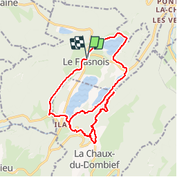


15.4 km | 20 km-effort

User


FREE GPS app for hiking
 SityTrail
IGN / Geographical institutes
SityTrail World
The world is yours!
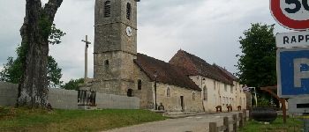
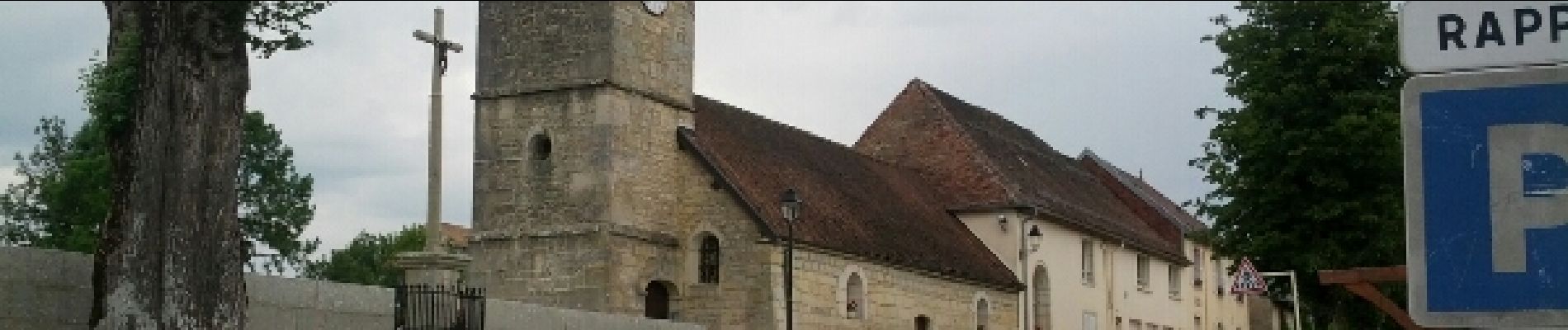
Trail Walking of 22 km to be discovered at Bourgogne-Franche-Comté, Jura, Le Frasnois. This trail is proposed by albert39.
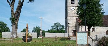
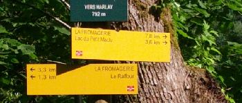
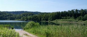
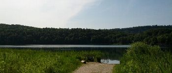
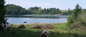
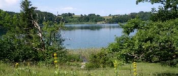
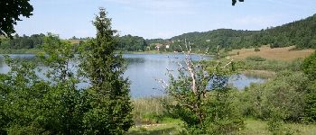
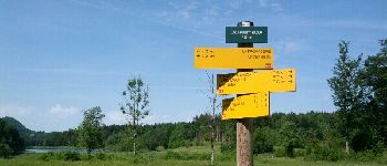
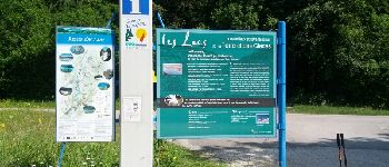
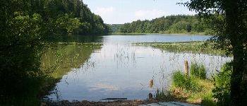
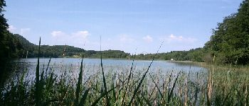
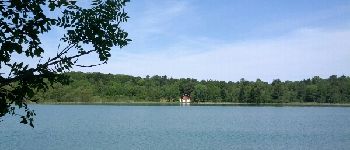
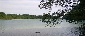
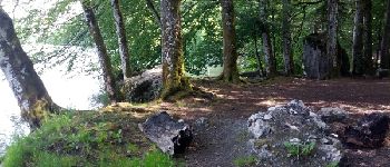
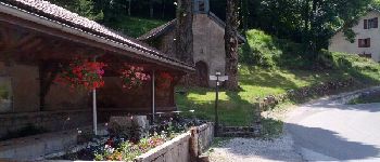
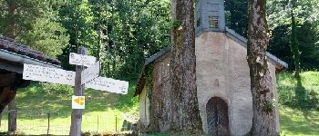
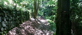
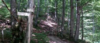
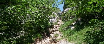
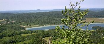
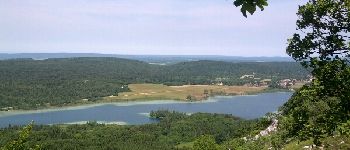
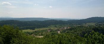
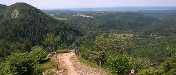
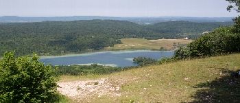
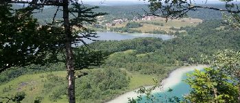
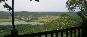
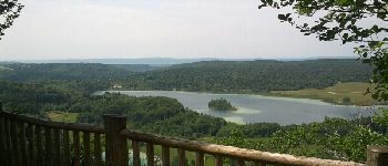
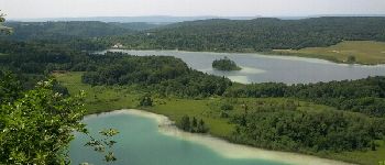
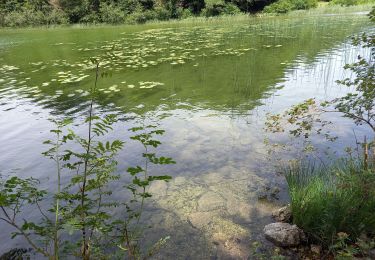
Tour des quatre Lacs. Sortie journée, départ parking de l'église en direction du camping municipal et du Lac de Narlay. Long du lac par le bois du Mont des Ifs, passage par le parking info, suivre le GR 559 A, jusqu’à Les Rousselets en longeant le Lac de la Motte ou d'Ilay. Depuis la Chapelle Saint Vincent, montée difficile au Belvédère des Quatre Lacs par le pic de l'Aigle. Magnifique panorama sur l’ensemble des Lacs et de leurs environnements. Retour par la côte 944 (forte descente) pour Ilay, par le chemin du lac direction de la Fromagerie et le GR 559 , puis le village du Frasnois.


32 photos in total. Please click on a photo to see them all in the gallery.

Walking

Walking

Walking

Walking
Walking

Walking

Walking
Walking
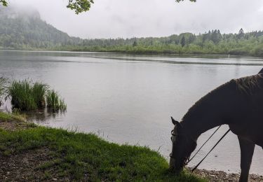
Horseback riding
Cadre et paysages magnifiques, à prolonger par les Cascades du Hérisson (Saut Girard).